THE RAY (I-85)
West Point, Georgia, USA
The Ray
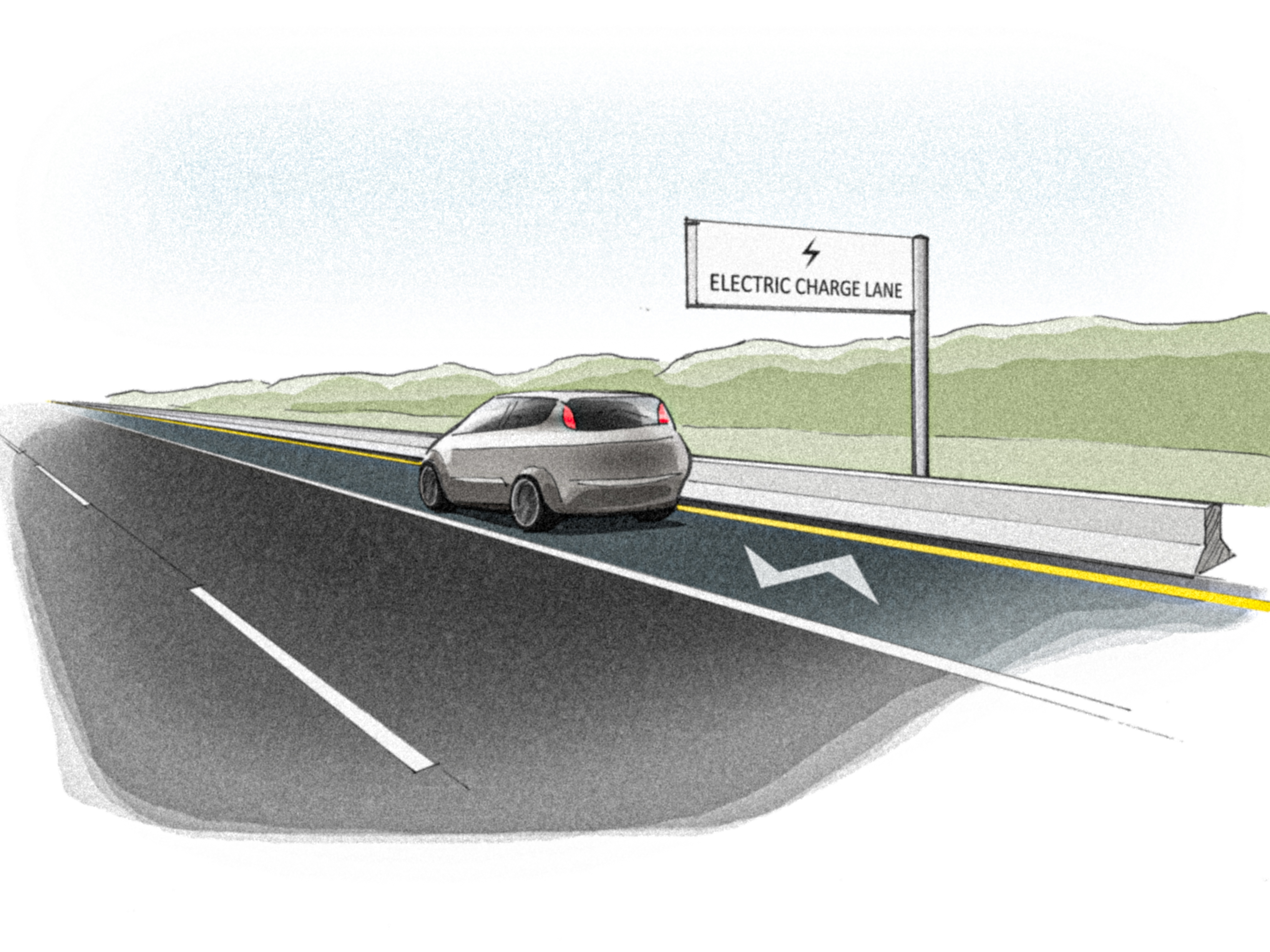
| There are 164,000 miles of highways in the National Highway System in the United States, and over 4 million miles of navigable roadways across the country. The transportation sector accounts for 28% of United States greenhouse gas emissions, and is the sector that has increased its greenhouse gas emissions most dramatically over the past two decades. Interstate 85 (I-85) runs across the Alabama-Georgia state line. The Ray is an 18 mile stretch of I-85 just over the Georgia border where transportation pilot projects funded by the Ray C. Anderson foundation in partnership with the Georgia Department of Transportation and the University of Georgia’s College of Environment and Design. The Ray’s experimental highway tests eleven technologies, from infrastructural solutions including solar-powered vehicle charging stations to landscape projects, including vegetated bioswales and pollinator gardens, as well as right-of-way solar panels, rubber roads and solar-paved highways. The project began with a climate modeling simulation to determine how weather patterns affect The Ray, and how climate change will impact the area. Bioswales capture water runoff in shallow drainage ditches that slow water movements and capture pollutants during rain storms. These bioswales are surrounded with hybrid perennial gasses that have 10 foot deep root systems that sequester carbon while helping filter rainwater collected in the bioswales. The Ray is looking into solar panels bordering the highway, as well as the use of drone technology to inspect and survey land, and eventually will transition to focus on solar charging highway lanes, as well as autonomous vehicles that respond to studs in the roads that illuminate different colors based on threats on the roadway. The Ray poses questions about private prototyping on public lands, and the future of our highway infrastructure. |
2014 - ongoing
11520 acres
252 feet above sea level
tags: low carbon urbanization, mobility, mitigation, adaptation, anticipatory adaptation, engineering, hazard reduction, private development, scenario plan, design project, pollution, landscape metrics, North America, Nearctic, Temperate Forest
References:
Links:
https://theray.org/
https://www.raycandersonfoundation.org/the-ray
https://www.curbed.com/2017/2/6/14521102/highway-the-ray-solar-power-transportation
https://www.3blmedia.com/News/Georgia-DOT-UGA-and-Ray-Test-Alternatives-Traditional-Land-Management-Strategies-I-85